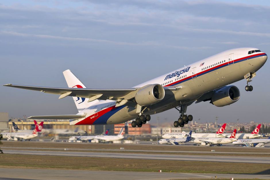

MH370 tracking expert Richard Godfrey has once again demonstrated the WSPRnet GDTAAA technology by tracking Emirates flight EK421 from Perth to Dubai across the Indian Ocean in a new paper.
Last year Mr Godfrey revealed a probable location for MH370 of 1933km west of Perth using WSPRnet and GDTAAA technology. Based on his extensive work, and three peer reviews, Ocean Infinity is expected to start a new search for the Boeing 777 that went missing on March 8, 2014, with 239 souls aboard next January.
READ: WSPRnet explained
The new paper authored by Mr Godfrey and Dr Hannes Coetzee found:
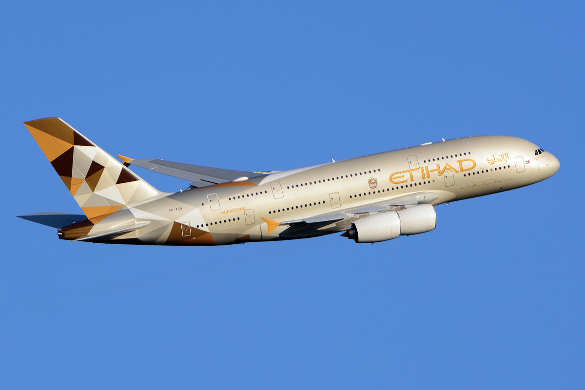
"Emirates flight EK421 on 1st June 2022 from Perth, Australia to Dubai, UAE took 10 hours 31 minutes. The aircraft operating this flight was a Boeing 777-300ER and departed Perth International Airport at 14:26 UTC arriving at Dubai International Airport at 00:57 UTC.
"The Emirates flight EK421 on 1st June 2022 was successfully detected and tracked over the Indian Ocean. 17 position indicators and 46 progress indicators allowed flight tracking over a 3-hour period. The intersections of multiple WSPRnet links align with the estimated position of the Boeing 777-300ER aircraft and these WSPRnet links show SNR, drift or dual anomalies for the particular WSPRnet links involved within the 3-hour analysis time frame. These indicators allow an absolute determination of the aircraft’s position at 17 points in time and a likely determination of the aircraft’s position at 46 further points in time. The resulting aircraft track aligns with the ADS-B data from FlightAware where available.
 "The flight route is almost entirely over the Indian Ocean and at 18:46 UTC crosses the estimated flight path of MH370 which disappeared on 8th March 2014 in the Southern Indian Ocean. ADS-B data from FlightAware is available for almost 6 hours of the flight in 3 parts, firstly near Australia, secondly near Sri Lanka and India and finally near Oman. There is a total gap of 4.6 hours over the Indian Ocean where the aircraft is out of range of land-based ADS-B receivers."
"The WSPRnet position indicators were more frequent during the phases in the flight where the aircraft was climbing, turning, experiencing turbulence or crossing a coastline. The large wing area of a Boeing 777-300ER of 438.2 m2 offers a good reflective surface for ionospheric radio waves for backscatter. The fuselage of 73.9 m in length offers a smaller deflective surface. Hence we found much more backscatter than forward scatter," the report said.
READ the full report here:
"The flight route is almost entirely over the Indian Ocean and at 18:46 UTC crosses the estimated flight path of MH370 which disappeared on 8th March 2014 in the Southern Indian Ocean. ADS-B data from FlightAware is available for almost 6 hours of the flight in 3 parts, firstly near Australia, secondly near Sri Lanka and India and finally near Oman. There is a total gap of 4.6 hours over the Indian Ocean where the aircraft is out of range of land-based ADS-B receivers."
"The WSPRnet position indicators were more frequent during the phases in the flight where the aircraft was climbing, turning, experiencing turbulence or crossing a coastline. The large wing area of a Boeing 777-300ER of 438.2 m2 offers a good reflective surface for ionospheric radio waves for backscatter. The fuselage of 73.9 m in length offers a smaller deflective surface. Hence we found much more backscatter than forward scatter," the report said.
READ the full report here:Have questions or want to share your thoughts?


.jpg)