MH370 data to help build global map of the ocean floor
22 June, 2018
3 min read

Malaysia Airlines Flight MH370 might still be missing but the data collected during the latest search will again be used to boost the scientific community’s understanding of the ocean floor.
Search firm Ocean Infinity is donating the 120,000 sq kms of data it gathered during the latest search for the missing plane to The Nippon Foundation-GEBCO Seabed 2030 Project, which aims to map the entirety of the world’s ocean floor by 2030.
The search for MH370 ended earlier this month without finding the wreckage of the Boeing 777, which disappeared in 2014 with 239 people on board.
But it allowed Ocean Infinity, which took on the search on a “no find, no fee” basis that would have seen it paid up to $US70 million if it had been successful, to demonstrate its innovative technology.
Read: MH370 just outside search area, claims leading oceanographer
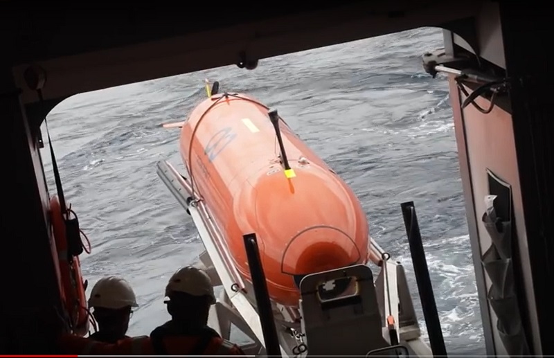
The data was collected by a fleet of eight Autonomous Underwater Vehicles (AUVs) — Ocean Infinity recently bought a ninth capable of conducting under-ice surveys — capable of covering swathes of the ocean floor at an unprecedented rate
The AUVs are capable of operating at depths of up to 6000m and are armed with a wide array of sensors.
Ocean Infinity chief executive Oliver Plunkett said the deep water search for MH370 demonstrated the most rapid collection of high-resolution sonar data in history.
“We are very proud to be supporting the Seabed 2030 initiative, which is leading the effort to collect previously unknown data of the ocean floor’’ he said. “Given how little of the seabed has been charted to date, we see this as an immensely significant project to promote a greater social understanding and sustainable use of the oceans.’’
The director of the Seabed project, Satinder Bindra, said it was hungry for data and described Ocean Infinity’s donation as “a priceless contribution to ocean science’’.
“Their donation will undoubtedly encourage other companies to contribute data so we can all collectively support one of the UN’s Sustainable Development goals to use our ocean resources sustainably,‘’ she said.
The Ocean Infinity donation adds to data from the original search that revealed previously unseen details of the Indian Ocean depths.
Watch Virgin Australia's volcanic ash assessment.
These included ridges six kilometres wide and 15 kilometres long that rise 1500m above the sea floor and fault valleys 1200m deep and five kilometres wide.
That information was used to make maps with a resolution 15 times higher than those made previously using satellites.
Several research organizations, academic institutions and regional mapping initiatives already contribute data to producing the Seabed project’s global map of the seafloor but officials are keen to get more participation from the private sector.
Project officials hope to “crowdsource” data” from assets already at sea from sources such as surveying company ships, transport vessels, and cruise liners to contribute to a global bathymetric map.
They said OI information and 100, 000 square kilometres of transit data donated by surveying company Fugro brought the total donated by the private sector to 220,000 squarekilometres, equivalent to almost the entire land mass of the United Kingdom.
“With the inclusion of 710,000 square kilometres of open source bathymetric data released by Australia, this year’s map will incorporate at least 930,000 square kilometres of data not previously included in the global grid – an area larger in size than Nigeria,’’ they said.

Next Article
3 min read
Virgin gets nod for Tiger deal

Get the latest news and updates straight to your inbox
No spam, no hassle, no fuss, just airline news direct to you.
By joining our newsletter, you agree to our Privacy Policy
Find us on social media
Comments
No comments yet, be the first to write one.