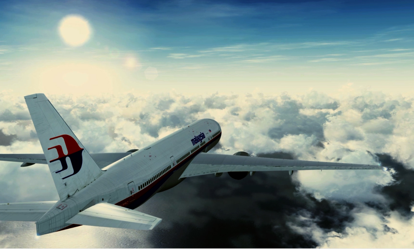
The ATSB review of its historic underwater search data for the new location of MH370 identified by British aerospace engineer Richard Godfrey has been met in many industry circles with disbelief.
On Friday, April 22, 2022, the Australia Transport Safety Bureau issued the report on the review of its search data by Geoscience Australia and stated that; “The Geoscience Australia report notes that it is highly unlikely that there is an aircraft debris field within the area reviewed.”
However, the report states that only 29 per cent of the requested area was reviewed.
Also, the report states multiple times that “further data acquisition” and “additional data acquisition” are required.
SEE the podcast: Flight Safety Detectives dissect the Netflix doco “Downfall”.
READ: Etihad Airways unveils its new A350
READ: Can the giant AN-225 fly again?
It is perfectly clear from the report that there are multiple gaps in the search and it is important to note that even Ocean Infinity, with far better search equipment, had to make two sweeps to find the ARA San Juan, while AF447 was only found in Phase 4 of the underwater search.
According to Mr Godfrey, it is clear that “the previous search has in principle skipped a significant portion of the search area with the “holidays” and the use of equipment with insufficient performance (resolution) to find the target.
“MH370 could easily have ended up in one of these insufficiently searched areas.”
The Geoscience Australia report also notes that “there are significant regions, mainly beyond the 10 nautical mile radius from the proposed crash location, that have either no data, data collected by Ocean Infinity that is not part of this review, or data collected using shipborne multi-beam sonar, which has insufficient resolution to identify an aircraft debris field.”
Data collected by Ocean Infinity during a Malaysian Government-contracted survey in January 2018 were not reviewed as part of this process, as Geoscience Australia did not have access to this data.
The data reviewed included high-resolution sonar datasets acquired during Phase 2 of the original search for flight MH370.
These covered an area of about 4,900 km2, or 29 per cent of the area requested of 17,000 km2.
Geoscience Australia concludes that “however, there remains a significant area of 12,100 km2 within the 40 NM radius from the proposed crash location as well as 72.79 km2 area of gaps and holidays” [that has not been reviewed]
The “gaps” and “holidays” (72.79km2) as they are called are the following:
- Missing data – 1.57km2
- Equipment failure – 5.37km2
- Lower probability of detection – 48.91km2
- Off-tracks – 0.17km2
- Terrain Avoidance 8.44km2
- Shadow Zones 8.33km2
The report also revealed that the “review led to the identification of eleven additional contacts by GA. However, an independent external review of these contacts by an expert in deep water search and salvage operations determined that none of the contacts were likely from an aircraft debris field. As each of the anthropogenic contacts was identified as a single feature in physical isolation of other contacts, they were not categorised as being associated with an aircraft debris field. Verification of any features would require further data acquisition.”


