Australian scientists believe they have pinpointed the wreckage of missing Malaysia Airlines airliner MH370 with unprecedented accuracy, significantly ramping up pressure on the Malaysian government to resume the search.
The scientists used satellite imagery and drift modelling to identify a location at latitude 35.6°S and longitude 92.8°E, near the seventh arc defined by satellite data, as the most likely location for the missing plane.
The images taken by a French military satellite and showing potential debris were discarded by governments and authorities in late March 2014 – before the Australian Transport Safety Bureau became involved in the search.

The studies, released Wednesday by the ATSB, have significantly boosted confidence that the wreckage of the Boeing 777, which went missing in March, 2014 with 239 souls on board, is in the southern half of the 25,000 sq. km. search area identified by experts in 2016.
The finding and an offer by a US firm to resume the search on a no-find, no-fee basis puts enormous pressure on the Malaysians to resume the search or explain why they are failing to try to resolve modern aviation’s greatest mystery.
A two-year sweep of the original 120,000 sq, km. search area failed to find any signs of the wreckage and was ended by the Malaysian, Australian and Chinese governments in January amid criticism by experts it was abandoned too soon.
Transport Ministers from the three countries said the search would not be resumed unless there was credible new information which could be used to identify the aircraft’s position, although they failed to define what this meant.
The pressure for a renewed search increased earlier this month when details emerged of an offer by US firm Ocean Infinity to resume the sweep on a no-find, no-fee basis using advanced technology.
READ: Malaysia urged to take up private offer to resume MH370 search
READ: MH370: Malaysia cannot avoid responsibilities after new evidence
The Associated Press quoted Malaysian Deputy Transport Minister Aziz Kaprawi as saying the the new analysis would need to be evaluated and that the offer to launch a private search was still being negotiated.
The latest drift study by CSIRO scientists David Griffin and Peter Oke builds on an analysis by Geosciences Australia of four images taken by a French satellite on March 23, 2014, around latitude 35°S and longitude 91°E .
The images contain at least 70 identifiable objects, 12 of which were identified by the Geosciences analysis as “probably man-made” and 28 of which were possibly man-made.

The dimensions of these objects were comparable with some of the MH370 debris that has washed up on African beaches.
While the CSIRO scientists cautioned there was no confirmation the items in the images were from the missing Boeing 777, they argued that their similarity to the debris and location near the 7th arc “makes them impossible to ignore’’.
It also raised the question of where they had drifted in the time between the March 8 disappearance of the aircraft and the image capture on March 23.
The scientists used data sets from Earth observation satellites and Australia’s most powerful super-computer to answer the question.
“Taking drift model uncertainty into account, we have found that the objects identified in most of the images can be associated with a single location within the previously identified region suggested by other lines of evidence,’’ they said.
“Furthermore, we think it is possible to identify a most-likely location of the aircraft, with unprecedented precision and certainty. This location is 35.6°S, 92.8°E.’’
The scientists said other nearby locations east off the 7th arc were also possible and there were a range of less likely locations on the western side of the arc, near 34.7°S 92.6°E and 35.3°S 91.8°E.
READ: Families urge Malaysia to accept MH370 search offer
“While we cannot be totally sure which of these locations in the southern half of the 2016-proposed search area is most likely, we do have a high degree of confidence that an impact in the southern half of the 2016-proposed search area, near 35°S, is more consistent with detection of debris in the images than is an impact in the northern half,’’ they said.
ATSB chief commissioner Greg Hood said caution was needed because the objects in the satellite imagery had not been definitely identified as MH370 debris.
“The information contained within the Geoscience Australia and CSIRO Reports may be useful in informing any further search effort that may be mounted in the future,” he said.
The CSIRO scientists have been refining their drift modelling since identifying in 2016 a segment of the seventh arc in the 32°S and 36°S area, particularly the region near 35°S , as the most likely site of the impact.
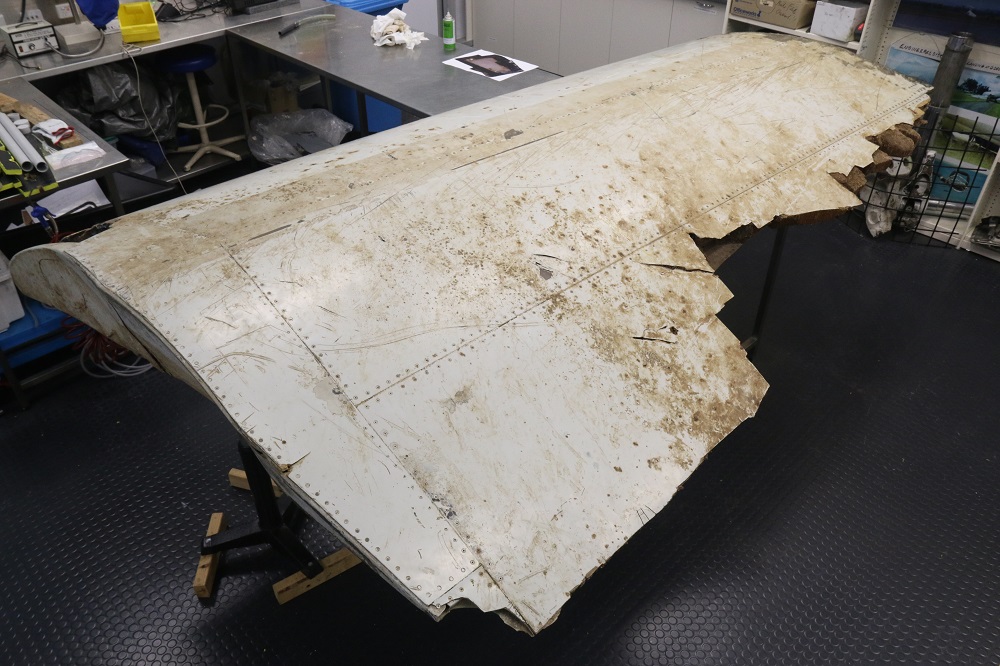
A second report using a real Boeing 777 flaperon similar to one recovered from MH370 further increased confidence that the wreckage was near 35°S.


